
Seeing the Wind with the New Global Wind Atlas
Newsletter
As many countries look toward incorporating renewables into their energy mix, they seek reliable renewable energy data. In planning wind farms, for example, developers naturally pick areas with the highest wind speeds. In datasets that provide average wind speeds over large areas, the enhancement of wind speeds due to small-scale features such as hills and ridges are not captured and are underestimated, making the prospective area appear weaker than it actually is.
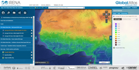
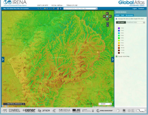
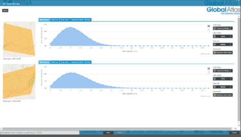
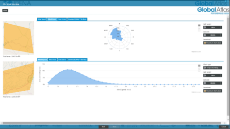
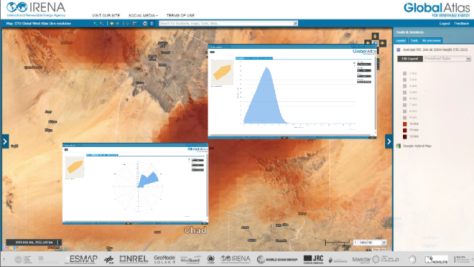
The Global Wind Atlas, launched today by IRENA and the Technical University of Denmark (DTU), provides the most detailed data and statistics on global wind energy potential available – for free. It displays wind resource data at one-kilometre resolution. Prior to this release, wind data was only publicly available at 10-kilometre resolution or poorer, resulting in underestimations, increased risk and costs to wind energy planners. The platform provides visual maps showing wind speeds at three different heights, and also includes tools to generate and export data and statistics such as wind roses and wind speed distributions over a chosen area. The dataset uses microscale modeling to capture wind speed variability on small scales, allowing for better estimates.
The Global Wind Atlas maps and suite of tools comes with a powerful combination of functionalities:
Visual Wind Data: Choose between three layers of data showing wind speeds at heights of 50, 100 and 200 metres. Different wind speeds are shown in different colours, so that users can easily identify promising locations for wind development.
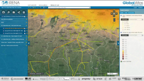
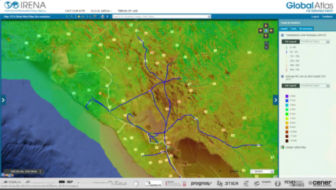
Supplemental Data: Users can also overlay other existing Global Atlas data, such as electricity transmission lines, roads, and population centres, that can further guide planners in selecting the best locations to focus on for wind energy development.
Generate Charts: Draw an area on the map, and generate charts and tables showing data for that specific area. Examples include wind rose charts and wind speed distributions.
Data Download: Download wind data for a specific geographic area to Excel for use in further analysis.
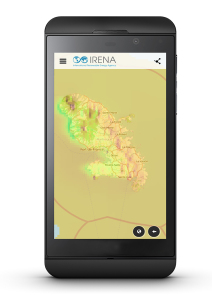
Mobile Access: View visual wind data with the Global Atlas pocket app, available for iPhone, Android, Windows, and Blackberry.
The Wind Atlas is an IRENA and DTU collaborative effort that builds on decades of expertise in wind mapping at DTU. It was funded by Denmark as part of its commitment to the Clean Energy Ministerial (CEM) process, and represents the achievement of the goal set forth by the CEM’s Multilateral Solar and Wind Working Group to help increase the global share of renewable energy by providing the world with detailed and validated wind potentials through an online platform.
The Wind Atlas is the newest addition to the datasets available through IRENA’s Global Atlas, an online renewable energy mapping tool, which is also available as a mobile app.
A technical webinar including a demo of the system will take place on 3 November. Click here for more information and to register.
Access the Global Wind Atlas: Click here to access the Global Wind Atlas map and here to access the new toolset.
