
Expert Workshop on Addressing the Geospatial Aspects of Variable Renewable Energy (VRE) in Long-Term Planning
The unique geospatial aspects of Variable Renewable Energy (VRE) were introduced in the IRENA report Planning for the Renewable Future, published in 2017. This topic emerged in the report in the context of representing the impacts of including VRE in long-term energy planning and how this may be assisted with geospatial data. Since the report was published, access to geo-spatial data and tools has significantly improved. As a result, such tools are increasingly included in government planning for generation and transmission capacity expansion. Another emerging aspect is for planners to better reflect the potential of distributed renewable energy pathways, including grid connected embedded generation and decentralised rural electrification, in the long-term energy planning process, both in well-developed and under-developed grid systems.
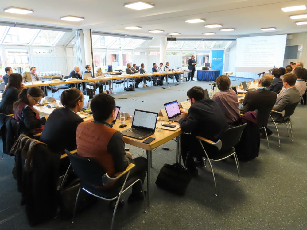
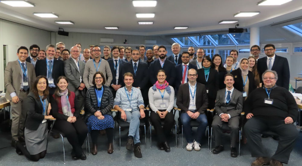
Given this background, IRENA organised a workshop on 12-13 December in Bonn, inviting government practitioners, experts, and researchers to discuss the current use of geospatial information in long-term energy planning. The aim of the workshop was additionally to collect inputs from experts on the latest developments regarding data and methodologies that could bring practical advancements to the planning process. The workshop was part of IRENA’s AVRIL project which collects and showcases the state-of-the-art energy planning and modelling methodologies to improve the representation of VREs in the long-term energy planning frameworks of national governments.
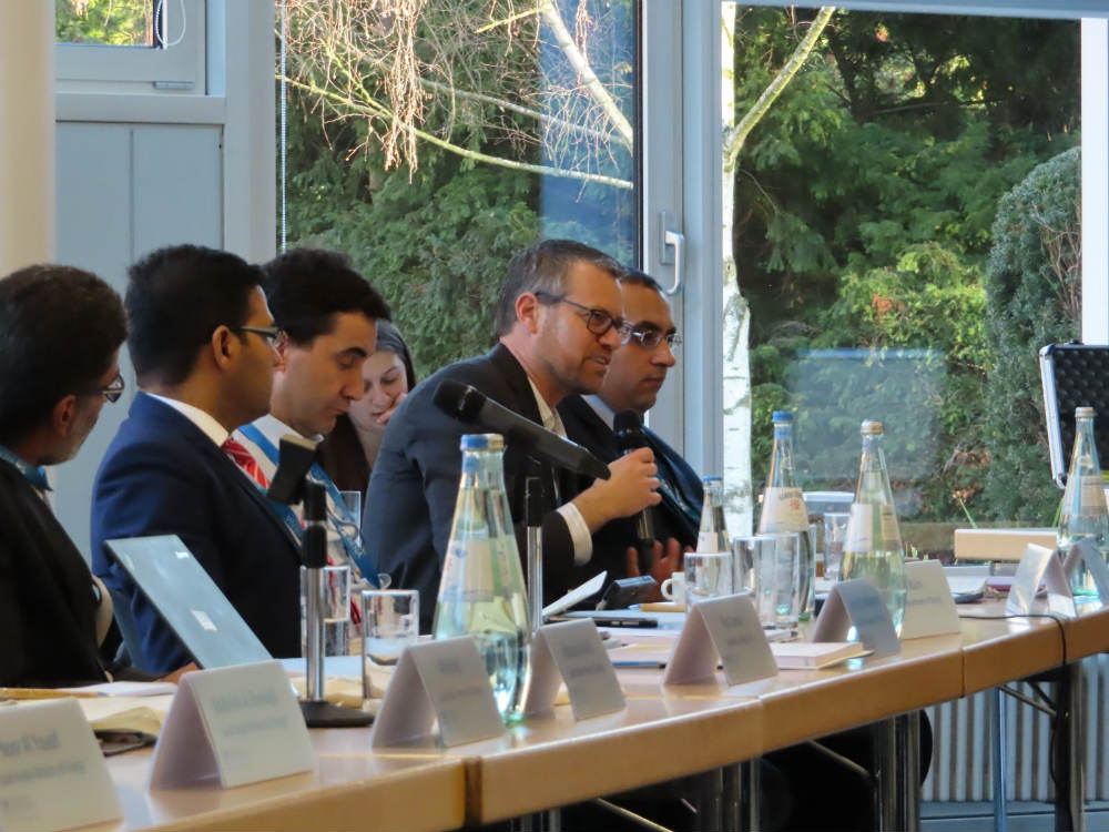
The workshop consisted of six thematic sessions and featured twenty short input presentations from long term energy planning practitioners, researchers and experts and IRENA staff. In each expert session, input presentations were followed by moderated open discussions.
Presentations
Session 1 - Introduction and Scene Setting- Addressing the Geo-Spatial Aspects of Variable Renewable Energy in Long-Term Planning: Scene Setting Presentation - Asami Miketa and Bilal Hussain, IRENA
- Country Experience from IRENA Regional Workshops - Daniel Russo, IRENA
- Abu Dhabi Integrated Energy Model (IEM) and Policy Framework - Ahmed Ali Al Bloushi, Policy Development and Integrated Energy Model, Department of Energy, Abu Dhabi UAE
- Geospatial Aspects of Long Term Power System Planning in Saudi Arabia - Ali Al Heji, Policy & Strategic Planning Deputyship, Ministry of Energy, Industry and Mineral Resources of Saudi Arabia
- Incorporating VRE into Long-term Power System Planning of Egypt - Abdel Zaher Elshafey, Egyptian Electricity Holding Company, Ministry of Electricity and Renewable Energy of Egypt
- VRE geospatial aspects in electricity system planning - Dennis Volk, Federal Network Agency of Germany
- Croatia - Country experience - Lucija Krstanović, Energy Institute Hrvoje Požar of Croatia
- Lithuania - Country experience on the use of modelling tools for official energy planning - Arvydas Galinis, Lithuanian Energy Institute of Lithuania
- The European Commission's science and knowledge service - Andreas Schmitz, European Commission - Joint Research Centre
- The Regional Energy Deployment System (ReEDS) Model - Galen Maclaurin, National Renewable Energy Laboratory
- Geospatial representation in REMix - Yvonne Scholz, German Aerospace Center
- The Renewable Energy Potential (reV) Model - Galen Maclaurin, National Renewable Energy Laboratory
- Meteorological data for RES integration studies - Iratxe González-Aparicio, Accenture Research Netherlands
- Resource Assessment: IRENA's geospatial services - Imen Gherboudj, IRENA
- Spatiotemporal impacts of climate change on renewable energy - Sebastian Sterl, Vrije Universiteit Brussel, Belgium
- Bergilab: Balancing the Belgian electricity system for maximal use of renewable energy generation by a grid injection limit algorithm and optimal battery deployment - Wim Clymans, Flemish Institute for Technological Research
Parallel session A – Grid-connected distributed VRE
- Grid-connected distributed VRE - Kais Siala, Technical University of Munich, Germany
Parallel session B – Energy access, rural electrification, mini-grids, stand-alone systems
- Towards universal electricity access in Sub-Saharan Africa - Anteneh Dagnachew, PBL Netherlands Environmental Assessment Agency
- Geospatial Electrification Planning - Dimitris Mentis, World Resources Institute
- Grid investment for renewable energy use, cost of VRE network integration - Tim Mennel, DNV-GL Germany
- Grid investments as one option for load balancing - The case of REMix - Yvonne Scholz, German Aerospace Centre
- Cooptimization of grid investment and renewable investment using the TIMES model - Kostas Tigas, University of Patras, Greece
- Zoning in the SPLAT Africa Model - Yunshu Li, IRENA